Transect Files
Transect coordinates can be provided in either .txt or .csv files, each with its own required format as explained below. Both files specify the transect profile as a series of (x,z) points. The coordinate system is directed from the shore and toward the inland inundation limit, and the transect points must be given in ascending values of the x-coordinate. The z-coordinate is the elevation. Especially when creating a transect with the ASCE Geodatabase, it is likely the transect will start off-shore and the elevation will be negative. Hence, the program selects as the “shore” the point with the first non-negative elevation (this is true for either file type). Data points “offshore” are ignored. For computations the x-origin must be at the shore, and therefore all coordinates are shifted so that that point has x = 0. Similarly, for an Overwash EGL analysis, the “inland” shore point is defined as the last point with a non-negative elevation.
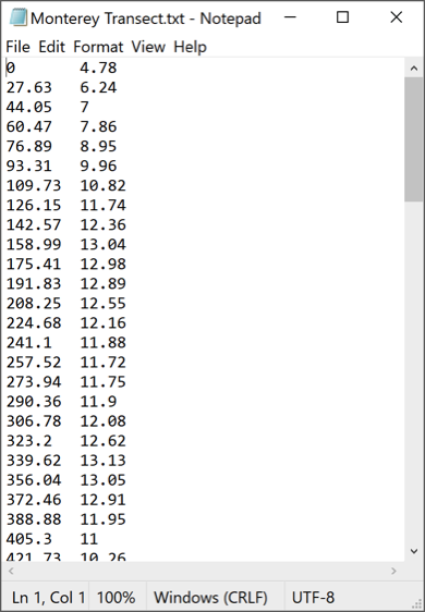
If a .txt file is chosen, it is assumed it has two or three "columns". The first column is the x-coordinate, the second column is the z-coordinate (elevation), and the optional third column is the Manning’s coefficient for that section of the transect. If Manning’s coefficient is constant along the transect, just specify that value as the default value on the Add Transects panel and do not supply values in the transect file. The columns are separated by either a tab or spaces.
If a .csv file is chosen, it is assumed that it has been exported from the ASCE Tsunami Geodatabase and it is in that format, where columns 4 and 5 are the coordinates. A sixth column can be added to specify the Manning’s coefficient when the value varies along the transect. The columns are separated by commas.
An example of the .txt file format without Manning's n is
An example of the .csv file format without Manning's n is